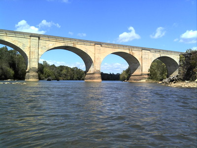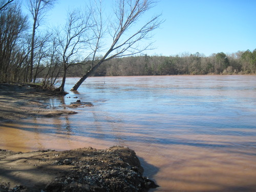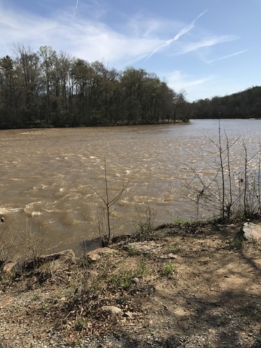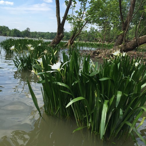
The Broad River Blueway in South Carolina provides significant beginner-friendly and novice paddling opportunities. Originating in the Blue Ridge Mountains of eastern Buncombe County, North Carolina, the Broad River – which was once the boundary between the Catawba and Cherokee Indian tribes - flows through seven Piedmont counties in South Carolina. The Broad also flows past towns at Cherokee Falls and Lockhart and through Sumter National Forest before joining the Saluda River to form the Congaree River in Columbia, SC.
One of the Upstate's widest rivers with major tributaries like the Pacolet, Tyger, Enoree, and Saluda Rivers, the Broad River has provided significant power generation with seven hydroelectric projects (9 dams) along the entirety of the river. In 1991, South Carolina designated 15 miles of the upper Broad River from 99 Islands Dam downstream to the confluence with the Pacolet River as a State Scenic River. Wildlife is abundant in this area and visitors can expect to see a variety of birds and fish including bald eagles, herring, and osprey; largemouth and smallmouth bass, as well as mammals such as river otters, muskrats, deer, and coyotes.
With slow flows and clear, wide channels, the Broad River is ideal for family-friendly paddling trips and fishing. Surrounded by an abundance of forests, farms, and orchards, the Broad River is a significant recreational resource. Recreation opportunities have been generously provided by utility companies, such as Duke Energy and Lockhart Power, allowing for the creation of the Broad River Blueway, which extends 70+ miles on the upper Broad River from North Carolina's Broad River Greenway access (at Gaffney Rd) to Strother Landing (at Hwy 34) near Blair, SC. The Town of Lockhart has also been involved in the continued development of the Broad River Blueway. Learn how you can protect this and other hometown rivers.
For information on the lower Broad River, click here. For information on the Broad River in North Carolina, click here.
Adjacent Waterways: on stream, Pacolet River, Tyger River, and Enoree River; downstream, Lower Saluda River and Congaree River.
Featured trips for this waterway showing difficulty (circles) and current runnability status (squares). .
