This trip requires portaging the Cherokee Falls Dam and is mostly flatwater after the dam. Although this trip is easy in terms of paddling, it may not be suitable for young children because of the dam portage.
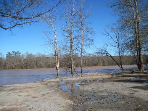
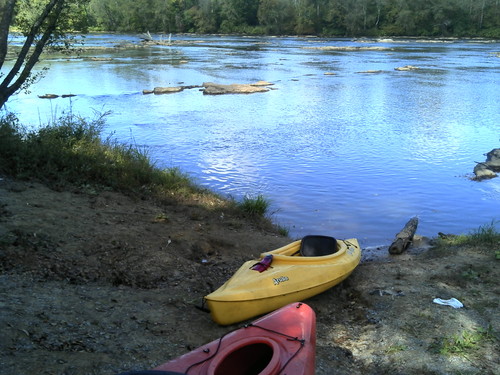
Located river-right, above the Cherokee Falls Dam, this river access is next to the Cherokee Ford Recreation Area. At the end of Wolf Den Lane, there is a dirt clearing with easy access to the river from the river bank. For map details, click HERE.
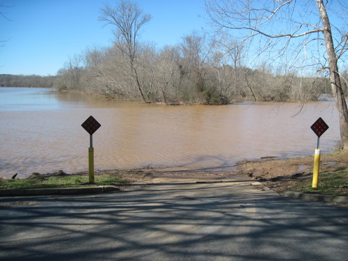
Located river left, this access has a boat ramp and small parking area, as well as a fishing trail that runs along the river 600 feet downstream of the boat ramp. For map details, click HERE.
After putting into the river at the Cherokee Ford Recreation Area, paddlers will see Goat Island, which can be paddled around on either side. Upon reaching the Cherokee Ford Dam, paddlers should stay to the right side of the river and portage around the dam on river right, avoiding the dam and its facilities at all times. 1,200 feet of shoals immediately following the dam can be avoided by portaging further along the bank of the river. Class I-II rapids flow until Ninetynine Islands, a 1.25-mile long island; paddlers should stay to the right. Rounding the corner after the island, paddlers will see a sand company on the left bank of the river. The take out is 1.6 miles downstream of the sand company river-left.
Comments (1)