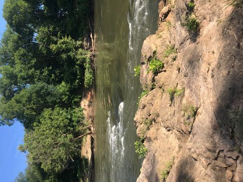
Completely rural in nature, this trip does not cross under any bridges and is characterized by dense wooded areas, clear, wide channels, and wide open fields. The Pacolet River's confluence with the Broad River can be seen along this flatwater trip.
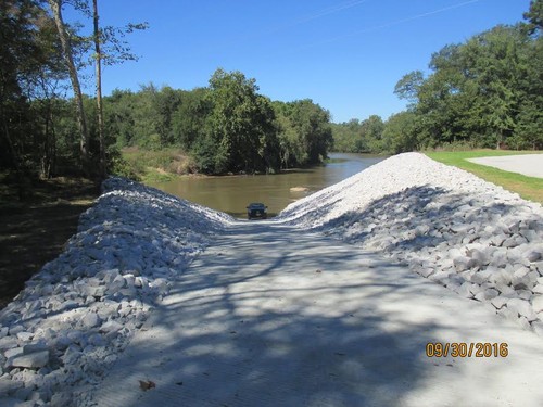
This public boat ramp is on the eastern bank of the Broad River at the end of Daltons Landing Road, which is off State Road 1000 (Scenic View Road) in York County. The access site includes a parking area and concrete boat ramp. Check here for updates and additional information.
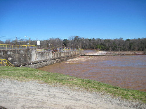
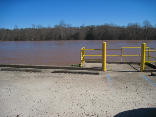
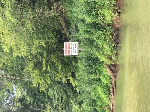
Paddlers should use caution when approaching the Lockhart Dam. The take out is located river-right, before the first dam. Access to the parking lot requires a short walk. The Lockhart Canal is formed by the two dams located north and south of the Town of Lockhart. Swimming and boating are not permitted within the Lockhart Canal. Paddlers wishing to continue their trip downstream should use the phone in a box on the side of Lockhart Power's building, which is connected to Lockhart Power's control room, to call (864) 545-2580. Lockhart Power will bring a truck and portage you to the put in downstream river-left, east of Lockhart Power's Hydropower Plant and Dam.
After putting into the river at the Worth Mountain WMA, paddlers will be surrounded by dense wooded scenery for the duration of this trip. The Lockhart Dam creates lake-like paddling conditions along this section, although water may be moving swiftly. The Pacolet River joins the Broad River on the right 5 miles before the take out. As paddlers near the Lockhart Dam, stay to the right side of the river and take out at the kayak landing river-right. There is an 800-foot portage from the take out to the parking area. The parking area below the Lockhart Dam is 25 minutes away from the put in, so shuttling cars could take close to an hour. This is a lengthy trip, and although easy to paddle, may be too long for families with young children.

Comments (1)