Paddle SC

Edisto River

Scroll down for more details
Legend
Hide All

Edisto River

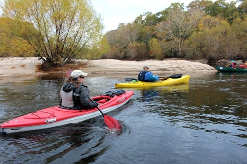
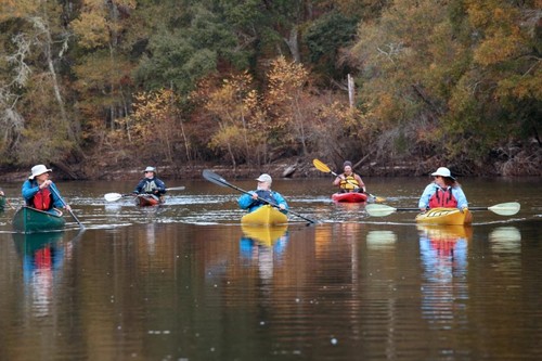
The Edisto River is considered one of the longest free-flowing black water river in North America. With the North Fork and the South Fork, there are over 300 miles of un-dammed black water river to explore. 

The Edisto River (called main stem or "Big" Edisto) forms where the North Fork Edisto River and South Fork Edisto River come together just west of Branchville, SC. The Edisto River alternates between wide straight sections and narrow winding sections, and passing an abundance of natural and human history along the way. The river runs 115 miles towards the coast to a point where its waters diverge into two channels, flowing on either side of Edisto Island, and form the South Edisto and North Edisto rivers. 

Adjacent Waterways: upstream, North Fork Edisto River and South Fork Edisto River; on-stream, Four Hole Swamp; downstream, ACE Basin (Coastal).

Suggested Trips (11)

Featured trips for this waterway showing difficulty (circles) and current runnability status (squares). .
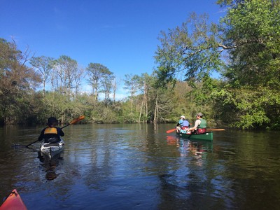
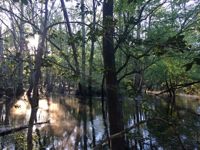
The Big Edisto (Credit: Tanner Arrington)
(Credit: Tanner Arrington)
(Credit: Eric Davis, Dorchester County)
Waterway Resources
Links to USGS Gauges on this waterway
Download map files for your own use. Learn more
Bugs be gone
Wear light-colored clothing, ideally DEET-free insect repellent, or a headnet to safely keep the biting bugs at bay.
X Close
Skill Level
Easy
Moderate
Difficult
Advanced
Learn more
X Close
Flow Level
Runnable
Above Runnable
Below Runnable
No Information
Learn more
X Close
Skill & Flow Level
Easy
Moderate
Difficult
Advanced
Runnable
Above Runnable
Below Runnable
No Information
X Close
Access Amenities
Parking - Dedicated Lot
Parking - Roadside
Restroom / Toilets
Fee Required
Handicap Accessible
Camping
Paddle SC is presented by
Upstate Forever
South Carolina Department of Natural Resources
South Carolina National Heritage Corridor
Rainey Foundation