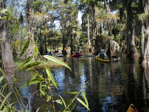
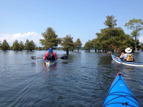
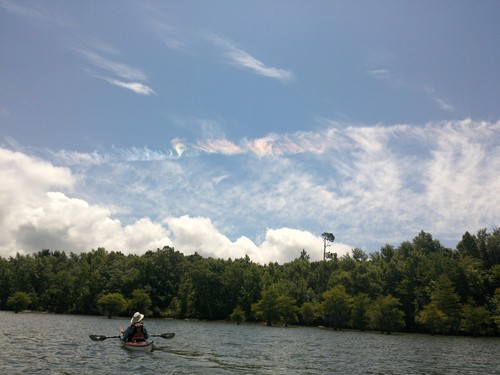
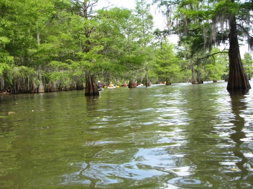
This is a multi-day paddling trip with designated camping sites; if completed from start to finish, you get five days of great paddling on Lakes Marion & Moultrie and four nights camping along the waterways. The scenery along the trail varies from cypress filled swamps, historic mills and church sites, to big views of open water.
Public boat ramp with lots of parking, multiple boat launching lanes, and courtesy docks. There is a bait shop with supplies just before the boat ramp parking lot. It is not recommended to leave your car overnight. It is suggested that you have a drop-off arranged, or have someone pick up your vehicle after launching.
Small boat launch with gravel parking.
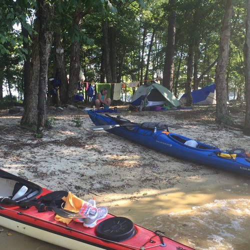
If completed from start to finish, this trip is designed for five days of paddling, and four nights of camping at designated camp sites. Below is a description of the different sections and campsites. You can download the GPX or KML files to be used in your own GPS. The official trail map is also available for download. The official website for the trail is available here.
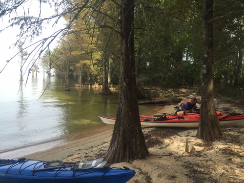
The sections are in order from top to bottom. Alternate access points and campsites are shown on the map if you are interested in a shorter, or slightly different trip. A few tips for camping: wear bright orange clothing from October 1 to January 1 due to hunting season on the Sandy Beach site and any other area designated for hunting season. Only build fires in designated fire rings, do not cut trees, and leave the site cleaner than you found it. Follow the Leave No Trace Severn Principles.
The trail starts at the top of Lake Marion, where you can choose a route to the right along the shore, or explore Stump Hole Swamp, to the left. You will continue to the to Santee State Park on the right shoreline, where you can camp for the first night. To ensure a campsite, make reservations through the park.
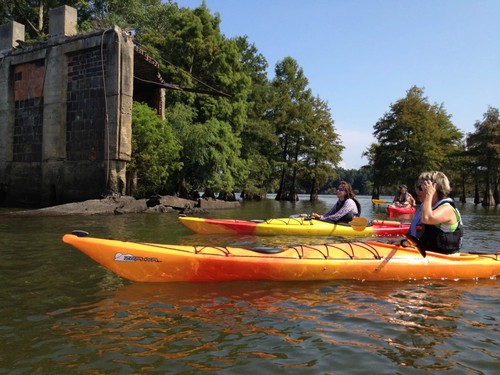
This section of the trail offers two very historic sites for history buffs. First, Eutaw Springs Battle Field is near Eutaw Creek on your right before the camp site. You can visit the battle field by paddling into the creek, take out at Bell's Marina, walk a short distance to Hwy 6, and a take a short walk to your left. Second, the ruins of Old Ferguson Mill (1800's) are visible as you follow the trail towards the Chimney Island section.
A must see side trip on the section is Church Island which is a former church site and grave yard. This section winds between islands, and alternates between wooded sections and views of open water. Camping is on Chimney Island.
This section takes you through the Diversion Canal into Lake Moultrie. You will then wind around to the north. There are two possible campsites at the end of this section. One is at the mouth of the Old Santee Canal, which operated from it's completion in 1800 through 1850. Today there remains a beautiful two and a half mile section of the black water canal bordered by moss laden cypress trees.
The Jungle” is an enclosed Tupelo swamp presenting an appearance much like the famed Okefenokee Swamp of Georgia, albeit on a smaller scale. The primary forestation in these waters is Tupelo, with some cypress growth near the forested boundaries. The waters themselves are heavily grown with fragrant water lilies, in season, as well as lotus plants and various grasses. At the north eastern corner of the lake, head south to Hines Dr Landing.
Comments (2)