Paddle SC
Camping Fee Required Handicap Accesible Parking- Dedicated Lot Roadside Parking Restrooms / Toilets

Middle Saluda River: Pumpkintown Road (Unofficial) to Hunts Bridge Road (Unofficial)

Scroll down for more details
Legend
Hide All

Middle Saluda River: Pumpkintown Road (Unofficial) to Hunts Bridge Road (Unofficial)

Skill Level: Difficult
Loading 
Rapids: Class II , III
Length: 9.90 miles
Duration: 5 - 5.5 hours
Portaging: No
What to Expect

Along this stretch, the Middle and South Saluda Rivers converge directly downstream of the put in; one mile before the take out, the South and North Saluda Rivers converge. Because this stretch of river is very curvy, there is a high potential for woody debris; paddlers should use caution at all times.

Access
Put in:
Pumpkintown Road River Access (Unofficial)
 475 Pumpkintown Road, Marietta, SC 29661
Access Details

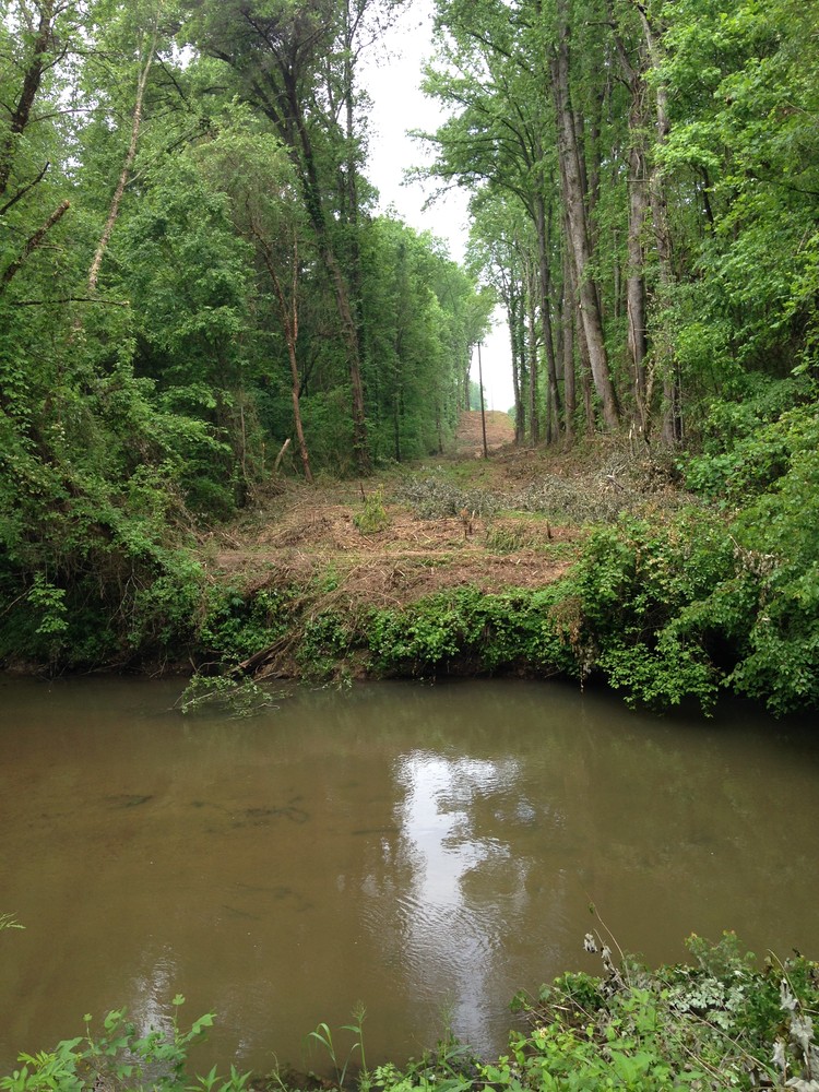
River can be accessed downstream of the bridge, river-left. Limited roadside parking is available 250 feet east of the bridge. Banks can be steep, use caution. This access is unofficial but regularly used. Use at your own risk.

Take out:
Hunts Bridge Road River Access and Roadside Parking (Unofficial)
 899 Hunts Bridge Road, Easley, SC 29640
Access Details

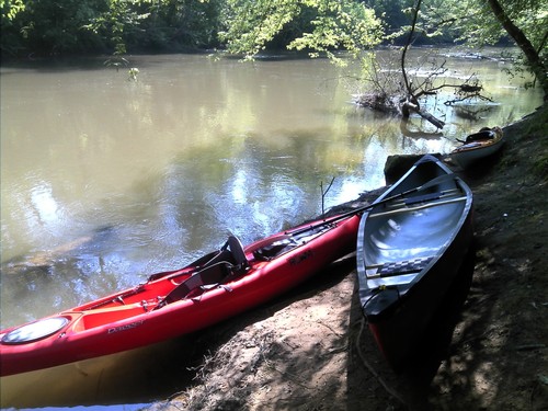
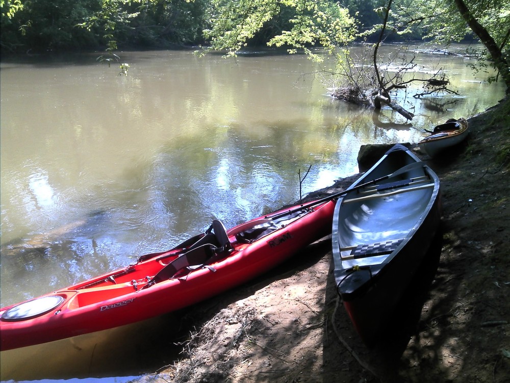
Access is downstream of the Old Hunts Bridge Road bridge, river-right. The banks are steep; use caution. Park along Hunts Bridge Road, river-right. This access is unofficial but regularly used. Use at your own risk.

Trip Details

Limited roadside parking is available along Pumpkintown Road. Hunts Bridge Road is a 15 minute drive; shuttling cars could take half an hour. After putting in upstream of the Pumpkintown Road bridge, river left, paddlers will soon thee the confluence of the South and Middle Saluda Rivers, becoming the South Saluda River. The South Saluda River then crosses under two bridges before converging with the North Saluda River, becoming the main stem Saluda River. There are Class II-III rapids and shoals following the confluence of the South and North Saluda Rivers. The next road crossing is Old Hunts Bridge Road; take out upstream, river right. Limited roadside parking is available along Hunts Bridge Road. For more information see The Upper Saluda River Blueway map.

Waterway: 

Comments (1)

Please Sign In or Create Account to add your photo to this trip
Derrick Sjodin
Jun 22, 2019 10:13 am EDT
06-22-19. Ran this yesterday on our river SUPs. We love this stretch. So peaceful. Most likely you will not see another person. We put in at Freeman bridge. First hour of float has a lot of downed trees. You can skirt around or duck most but there are 2 logs you have to lift your boats over. We kind of like going around the trees as it makes it a little more difficult creating obstacles and some hard paddling to get through some holes. There’s s couple great beaches to stop at along the way. The rapids are pretty mellow but I still wiped out as it was a little shallow. We take out on the sandy side under Old Hunts Bridge, opposite side of where you park.
Please Sign In or Create Account to add your photo to this trip
Middle Saluda River at Pumpkintown Road (Credit: Upstate Forever)
Saluda River at Hunts Bridge Road (Credit: Upstate Forever)
Trip Resources
River Flow (CFS)
Discharge flow information
CURRENT CFS
Flows for safe padding (cfs)
MINIMUM
100
MAXIMUM
1000
X Close
Skill Level
Easy
Moderate
Difficult
Advanced
Learn more
X Close
Flow Level
Runnable
Above Runnable
Below Runnable
No Information
Learn more
X Close
Skill & Flow Level
Easy
Moderate
Difficult
Advanced
Runnable
Above Runnable
Below Runnable
No Information
X Close
Access Amenities
Parking - Dedicated Lot
Parking - Roadside
Restroom / Toilets
Fee Required
Handicap Accessible
Camping
Paddle SC is presented by
Upstate Forever
South Carolina Department of Natural Resources
South Carolina National Heritage Corridor
Rainey Foundation