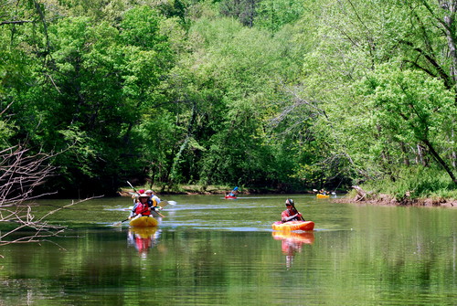
This trip begins on Lawson's Fork Creek and ends at Pacolet Mills along the Pacolet River. The majority of this stretch of the Pacolet River includes lazy waters with occasional Class I rapids as the river approaches the town of Pacolet Mills. The downstream Upper and Lower Pacolet Shoals Dams create lake-like paddling conditions as the river gets closer to Pacolet Mills. This stretch is primarily rural in scenery.
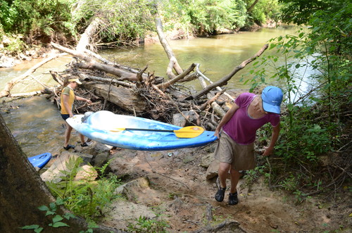
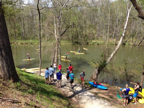
Located downstream of the Goldmine Road bridge, river-right. Paddlers can access the river by following the steep path along the bank down to the water, about 5 yards.
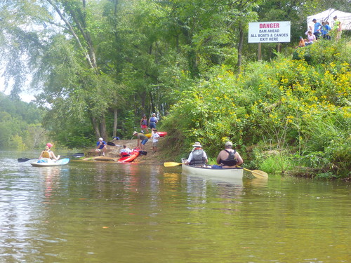
After the confluence of Lawson's Fork Creek and the Pacolet River, there are no rapids. Approaching the Town of Pacolet, take-out at the first dam on river-right. Restrooms are available adjacent to the water tower by the bridge on Sunny Acres Drive. This is a take-out only.
The Upper Pacolet Shoals take out is a 10-minute drive from Goldmine Road. There are no road crossings along this section. There are a few Class I ripples along this stretch, but it is mostly flatwater. Upon nearing the Upper Pacolet Shoals Dam, the take out will be river right; look for the signs indicating take out. A short 130 foot trail leads from the river to a paved parking area. Be advised that paddling between the Upper and Lower Pacolet Shoals Dams is strictly prohibited. Restrooms are available adjacent to the water tower by the bridge on Sunny Acres Drive. For additional information, view Upstate Forever's Pacolet River and Lawson's Fork Creek Blueway Map.

Comments (4)