Paddle SC
Camping Fee Required Handicap Accesible Parking- Dedicated Lot Roadside Parking Restrooms / Toilets

Upper Saluda River: Dolly Cooper Park to Piedmont, SC

Scroll down for more details
Legend
Hide All

Upper Saluda River: Dolly Cooper Park to Piedmont, SC

Skill Level: Moderate
Loading 
Rapids: Class I , II
Length: 9.40 miles
Duration: 4.5 - 5 hours
Portaging: No
What to Expect

This trip features lazy waters, wide river channels, and is perfect for beginners. Although the trip is longer in length, it makes for a great day trip and only has one or two small rapids that can become Class II in higher waters.

Access
Put in:
Dolly Cooper Park
 170 Spearman Circle, Greenville, SC 29611
Access Details

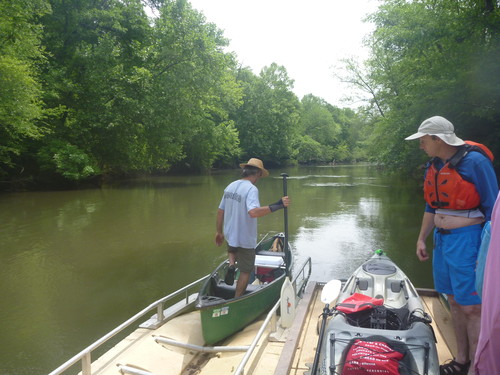
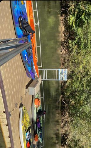
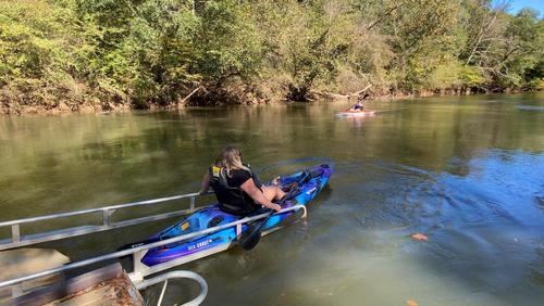
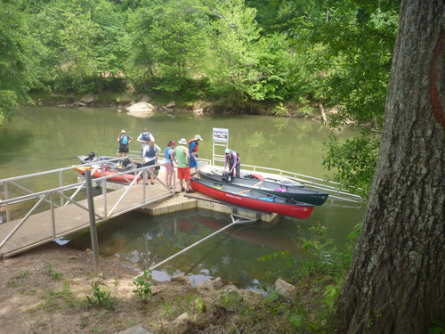
This Park offers an ADA accessible floating boat launch, allowing for easy access to the river for all. Additional features include ample paved parking and a grassy picnic area.

Take out:
River Road River Access and Parking Area (Unofficial)
 305 River Road, Piedmont, SC 29673
Access Details

This river access is 600 feet west of the US 25 bridge, river-right. Pull cars completely off of the road and park in the clearing. Follow the trail 700 feet to the river. 

Trip Details

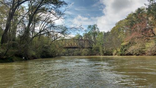
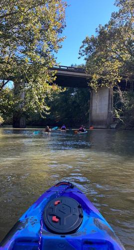
The take out is a fifteen minute drive from Dolly Cooper Park, so shuttling cars could take a half hour or more. After putting in at Dolly Cooper Park, paddlers will cross under the remnants of an old bridge. From the old bridge to the Frontage Road/I-85 bridges, there are some Class I-II rapids, and then the river becomes flat water. There are 5 bridges total paddlers will cross under. After the 5th bridge, the take out is 5.6 miles downstream, river right, at the mouth of Big Brushy Creek.
Waterway: 

Comments (15)

Please Sign In or Create Account to add your photo to this trip
Rick Rummler
Nov 09, 2024 3:13 pm EST
Paddled from Saluda Outdoor Center to Dolly Cooper yesterday. Took about 1:45. Lots of lay downs and trash. Several tight openings, but only one point where trees spanned the entire river. I was able to pick my way through, but suggest carrying a saw just in case. Also beware that the floating dock at Dolly Cooper is damaged and there's a jagged metal post on the upstream end of the boat slide.
tommy moore
Aug 08, 2024 2:35 pm EDT
Is there any service in the area that will take you back from Piedmont to Dolly Cooper?
Kristin Woodall
Jul 13, 2024 4:14 pm EDT
Did this yesterday with two girlfriends- adventurous paddle- did have to walk boats down last set of rapids - took longer due to the water being so low (cfs 290) using the website referenced in last comment) - would definitely do it again especially once the water flow is better - happy paddling
Timothy Parrish
Jun 24, 2024 2:56 pm EDT
Also, the proper USGS water gauge data to view for this section may be found below. The current water gauge shown on this page is below the Piedmont dam, which is not correct. https://waterdata.usgs.gov/monitoring-location/02162550
Timothy Parrish
Jun 24, 2024 2:19 pm EDT
While this trip does not show minimum CFM to run, it is about 405 CFM. Lower than this, paddlers will have trouble navigating the two sets of Class I or II shoals south of Dolly Cooper Park, but north of HWY 153. This trip is always runnable below HWY 153 since it is flatwater and much deeper. A trip of 12 miles, up and back, is always available from Piedmont even when the flow above is way too low.
Sean McLaughlin
Jun 05, 2022 9:33 pm EDT
Water running 680 CFM - was easy in a canoe. One spot that we had to walk over bcs rocks were exposed and bottomed out - I guess at this CFM would be rapid #2. There is a marked debris field, but again at this CFM, no issues, easily paddled. I’d say great 4 hour trip for fishing and relaxing - at 680 CFM. Other comments sound horrific would be nice to know what the CFM is when you comment. Thanks. Enjoy to water.
Timothy Parrish
May 15, 2022 2:21 pm EDT
All clear as of 05/15/2022. Some low hanging trees, but everything is navigable.
Janice Young
Oct 17, 2021 8:00 pm EDT
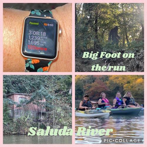
This adventure was not the best experience for my group of 4 ladies. We started at around 3:30 in the afternoon at The Dolly Cooper Park launch. It took us 3 hours and 8 minutes with steady paddling for a good part of the trip to get to the unofficial take-out spot. I about tipped my kayak going off of the launch dock. Getting it straightened up we headed down to some rough rapids or at the time what we thought was rough. Boy did we not realize what we were getting into. We came upon another kayak launch dock where the rapids knocked me into the dock and I got stuck for a moment and couldn’t clear the fast running water. After I screamed for my life like a baby I finally got free! Moving on downstream we came upon another set of rapids and I had an attack of tree limbs and struggled to not crash into them. I thought we were done but oh heck no that wasn’t the case. One of our kayaks flipped on a large rapid and lost her paddle but like a boss, she was able to stand on a rock and jump back on her yak! I’m sooo proud of her! Thank goodness we were able to get her paddle running downstream. We all scraped our boats on the huge rocks. Next, was a very large large tree blocking our complete path. Nothing to do but go under it. So needless to say we got low In our boats like the limbo and broke branches until we were able to fight our way through. If the water level was up you'd be stuck because there is nowhere to exit and get back in the water. I fear for future kayakers that go there with the water levels high. Gees! That was 2 hours into our 3-hour journey and I was done with this adventure. THEN…one of our other kayak friends got stuck on a tree under the water that you could not see so thank goodness for our fearless leader that rocked her free without tipping the yak. I’m done for the season. It was Rough!!!! I’m NEVER kayaking on a river again!!!! The research showed one set of rapids. There were 3 or 4 I lost count. I’ll take Flat Water from now on!!!! Only flat water!!!! There's much more to this story like the man that pulled us out of the water, keys getting left behind, a random Bonfire, and a beaver falling from a tree but I’m just gonna leave it!
Ara mckinsey
Jul 19, 2021 7:27 am EDT
First time out on this trip. Paddled this from start to finish. Both of us rolled our kayaks at the rapids, Hit the rocks and had a rough time. Guess the river was low. The down trees were manageable. Would do this trip again once we are better at rapids.
Dena Douglas
Mar 12, 2021 5:42 pm EST
My daughter and I did about 1/2 of this today.. After 85 bridge, there is a big tree down across river to the right of the split. Go left! We went for a swim and were entangled in trees for a bit. Got a little rattled. Pulled up to a residence after that and got out on a very steep bank with the help of a very nice gentleman. Found out after getting out that it's very calm down to the take out before Saluda River Grill. We should've stayed in and finished but we were ready to be done at that point.
Fred Mendyka
Jun 30, 2020 5:13 pm EDT
Did this today, June 30, 2020. River was high and muddy due to all the rain last night. NO ROCKS showing on any of the rapids/riffles in the upper half. Was a lot of fun doing these rapids in this high water. Second half of trip was flat, with some current. Put in at Dolly Cooper at 9:15AM. Took out at 1:20. Only 4+ hours. We fished and stopped for a 15 minute lunch break. Water was moving us along. NO tree clogged area as the caution symbol warned about. Perhaps that should come off the map. Only had to duck under one tree that had recently fallen across the river. A very good run. We will do it again in lower water. Boats today were two twelve foot Old Town Discovery canoes.
Kathy Chapman
May 17, 2020 10:22 am EDT
Completed this section yesterday (5/16/2020) In 4.5 hours. No issues, no swims.
Nathan Weaver
May 10, 2020 8:15 am EDT
Just ran this section yesterday (May 9, 2020) and pretty much all clear. Lots of debris throughout but nothing blocking your way entirely. River right just after the rapids and near “signsouth” in the map has a submerged log, maybe six inches down that was completely invisible. It runs parallel with the river. The canoe was fine but two of our kayakers bumped into it and got rolled. At the split if you stay left you won’t hit it.
Timothy Parrish
Mar 31, 2020 11:58 am EDT
River all clear, not blocked by any debris as of 03/28/2020.
Jason Adams
Oct 09, 2019 10:17 am EDT
There is another more recent option with @jasonjadams - a private resident offering guided tours, transfers/portage, equipment rental and even an AirBnb for 2.
Please Sign In or Create Account to add your photo to this trip
floating ADA kayak launch at Dolly Cooper Park (Credit: Upstate Forever)
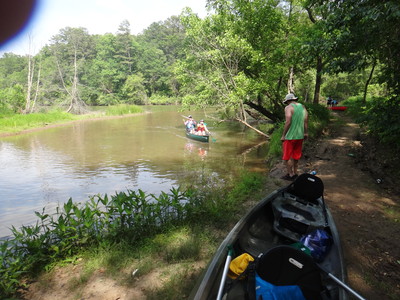
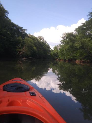
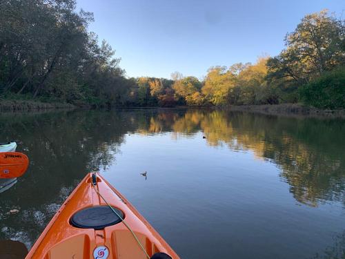
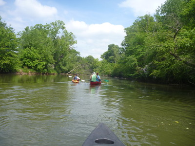
Saluda River below Dolly Cooper Park (Credit: Upstate Forever)
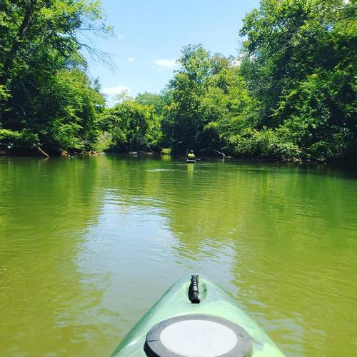
paddlers using the ADA kayak launch at Dolly Cooper Park (Credit: Upstate Forever)
take out at Piedmont, SC (Credit: Upstate Forever)
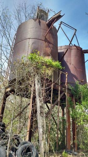
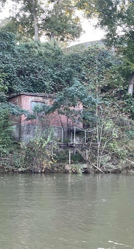
Old water storage tanks just north of HWY 86 bridge. (Credit: Timotht G. Parrish)
Old trestle bridge just south of Solly Cooper Park. (Credit: Timothy G. Parrish)
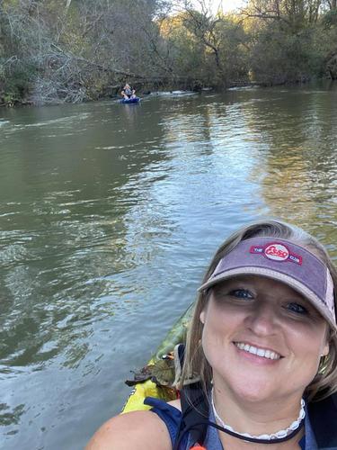
Floating along (Credit: Ara mckinsey)
Dolly Cooper Park
Kayak Launch
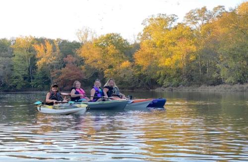
Paddling Sisters (Credit: J Young)
Paddling Sisters
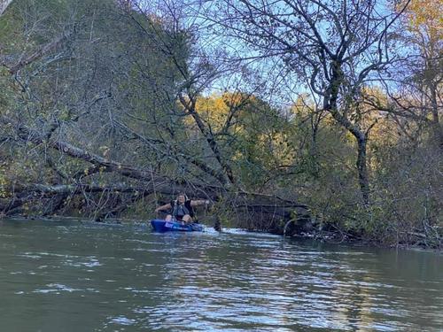
Tree blocking must go under it
Down tree
Beer Delivery Service available (Credit: River Dog)
Trip Resources
Download map files for your own use. Learn more
River Flow (CFS)
Discharge flow information
CURRENT CFS
Flows for safe padding (cfs)
MINIMUM
--
MAXIMUM
--
X Close
Skill Level
Easy
Moderate
Difficult
Advanced
Learn more
X Close
Flow Level
Runnable
Above Runnable
Below Runnable
No Information
Learn more
X Close
Skill & Flow Level
Easy
Moderate
Difficult
Advanced
Runnable
Above Runnable
Below Runnable
No Information
X Close
Access Amenities
Parking - Dedicated Lot
Parking - Roadside
Restroom / Toilets
Fee Required
Handicap Accessible
Camping
Paddle SC is presented by
Upstate Forever
South Carolina Department of Natural Resources
South Carolina National Heritage Corridor
Rainey Foundation