Paddle SC
Camping Fee Required Handicap Accesible Parking- Dedicated Lot Roadside Parking Restrooms / Toilets

Cedar Creek (Congaree NP): Cedar Creek Landing to HWY 601

Scroll down for more details
Legend
Hide All

Cedar Creek (Congaree NP): Cedar Creek Landing to HWY 601

Skill Level: Difficult
Loading 
Rapids: None
Length: 17.00 miles
Duration: 8 - 14 hours
Portaging: No
What to Expect

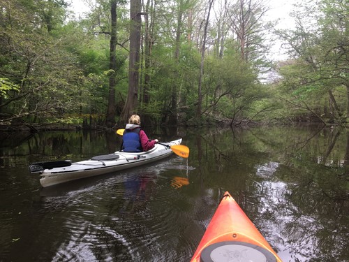
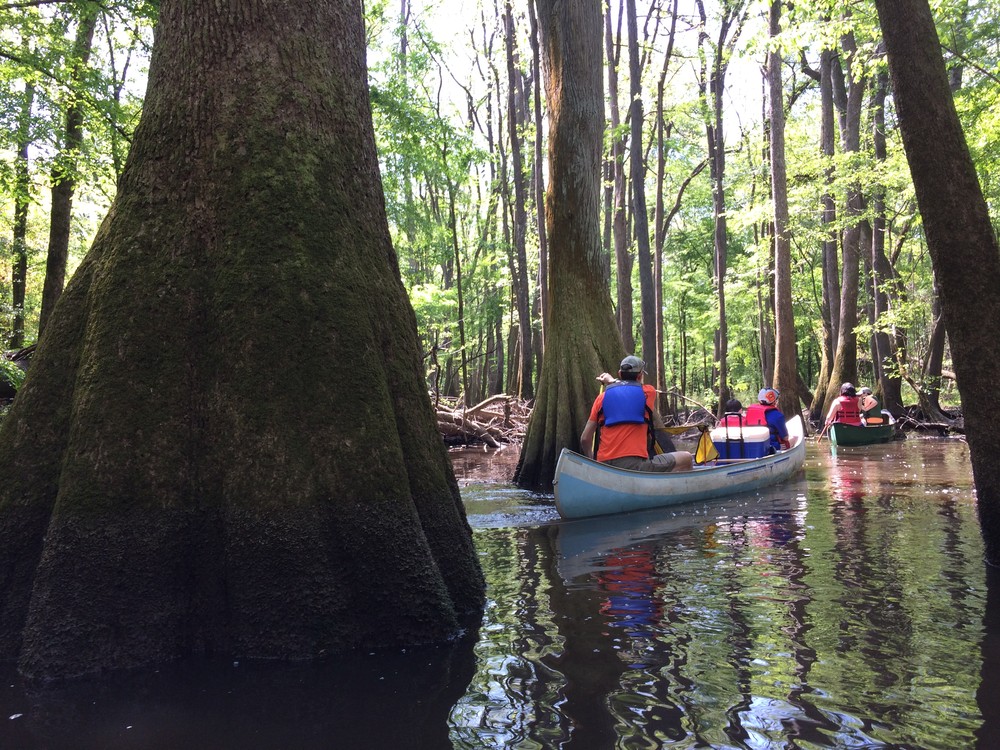
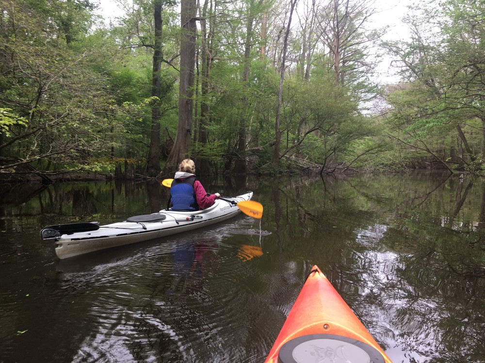
This is a wilderness paddle through Congaree National Park to the Congaree River. Approximately 6 miles of this paddle are on Cedar Creek through Congaree National Park, with the remainder of the trip on the Congaree River. This trip is best completed as an overnight, though it is possible to do it in a long day.

Access
Put in:
Cedar Creek Landing
Access Details

Gravel parking area with a hand-carry boat launch.

Take out:
Bates Bridge Landing on the Congaree River
Access Details

Developed motor boat launch under the Hwy-601 Bridge on the Congaree River.
Trip Details

Comments (2)

Please Sign In or Create Account to add your photo to this trip
Russ Bowen
Nov 10, 2022 8:09 am EST
Paddled on Nov 9, 2022 with guage reading 2.90 ft. with a canoe loaded with 2 people and camping gear. There were about 4 or 5 portages due to downed trees. Most portages happened after we saw a sign pointing to the Congaree River. The increase in river blockages inspired some confusion regarding whether we'd made a correct turn at the sign. We started from a campsite just past Cedar Creek Landing, and our travel time was about 9 hours including breaks.
Nathan Crackel
Nov 16, 2021 4:11 pm EST
Did this trail solo a couple years ago in a kayak, and it was absolutely grueling, but also absolutely stunning. The first couple miles of the Cedar Creek trail are maintained by the park, so it's fairly easy-going. After that, expect several portages regardless of the water level (water level was average on my trip, and I had about a dozen portages). Once you get to the Congaree, it's a breeze, if also a bit boring. If I were to do it again, I'd probably paddle Cedar Creek until just before the river, make camp, and then paddle back.
Please Sign In or Create Account to add your photo to this trip
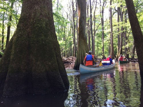
big tree (Credit: TEA)
(Credit: Tanner Arrington)
Trip Resources
Download map files for your own use. Learn more
River Flow (FT)
Discharge flow information
CURRENT FT
Flows for safe padding (ft)
MINIMUM
2
MAXIMUM
8
X Close
Skill Level
Easy
Moderate
Difficult
Advanced
Learn more
X Close
Flow Level
Runnable
Above Runnable
Below Runnable
No Information
Learn more
X Close
Skill & Flow Level
Easy
Moderate
Difficult
Advanced
Runnable
Above Runnable
Below Runnable
No Information
X Close
Access Amenities
Parking - Dedicated Lot
Parking - Roadside
Restroom / Toilets
Fee Required
Handicap Accessible
Camping
Paddle SC is presented by
Upstate Forever
South Carolina Department of Natural Resources
South Carolina National Heritage Corridor
Rainey Foundation