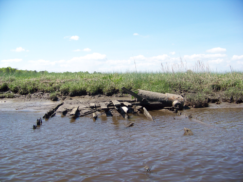
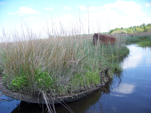
Paddle through history along this trail, which incorporates a number of shipwrecks and archaeological landings dating from the early 18th century to early 20th century visible at low tide in the upper reaches of the Ashley River Blue Trail. The Ashley is also a South Carolina Scenic River.
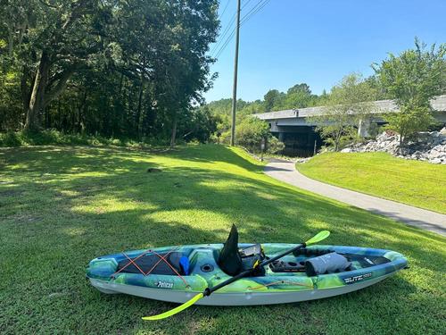
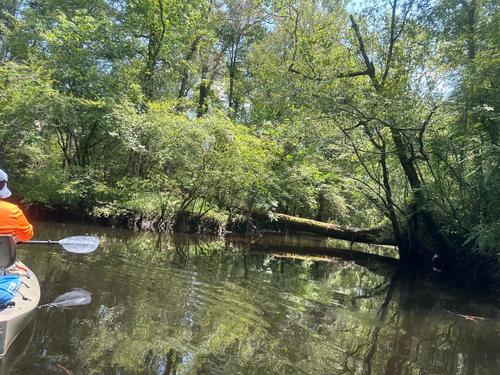
The Howard Bridgman River Access at Bacons Bridge is situated on an ideal stretch for paddling and is a “carry-down” facility for canoes, kayaks, SUPs and small john boats. Overhanging limbs, partially submerged obstacles and a narrow twisting channel will be encountered both immediately upstream and downstream of the access.
Note: The above address is new and may not show up on all navigational software yet. The site is located just off Bacons Bridge Road one half mile south of Dorchester Road.
Public boat ramp with two docks.
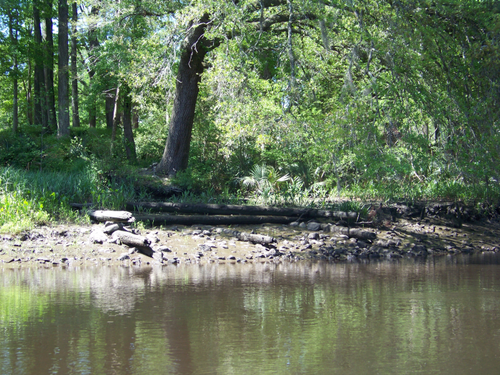
The Ashley River Heritage Trail, a section of the Ashley River Blue Trial, highlights the maritime archaeological and historical context of the Ashley River, particularly as it pertains to Charleston, plantations, phosphate mining, and transportation.The sites represent a variety of structures and vessel types including wooden sailing and motorized craft, a barge, a tugboat of composite wood and concrete construction, and colonial landings. Sites range from the 18th to 19th centuries. Wildlife is also abundant; especially common are wading birds such as egrets, herons and woodducks.
Plan your trip around the tides; the shipwrecks are visible at low tide. With two access points, there are multiple options for planning a trip on this trail. With the right planning, you can treat this trip as a park and paddle, or you can paddle between the access points with the tides.
More details on the shipwreck sites can be found in the downloadable PDF above. Don't forget, you can also download KML or GPX files to use with your own GPS to navigate to the archaeological sites.
Comments (2)